
Mountain Biking
PICK UP YOUR BIKE PASS TODAY
Biking at A-Basin is completely free, but all bikers accessing our mountain are required to sign a waiver and have a free uphill bike pass available for pick up in Guest Services. Sign your waiver ahead of time through the link below.
Biking at A-Basin
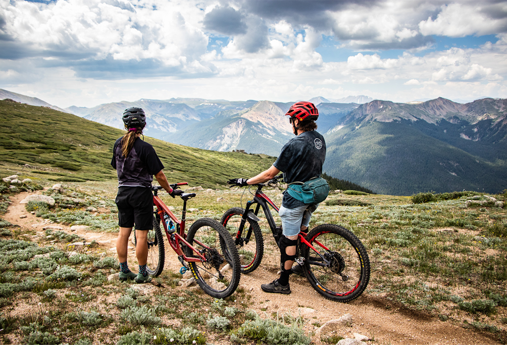
Uphill, downhill, and a beautiful view both ways
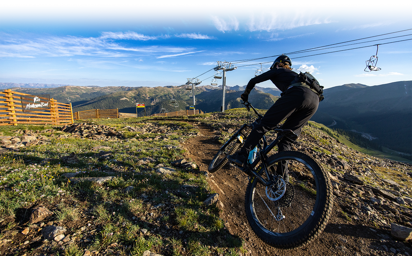
Whether you’re in Colorado for mountain biking or road biking, Arapahoe Basin has something for you with terrain offering incredible views and even better rides. Earn your turns! We do not offer lift-service for bikes.
VIEW TRAIL MAPTRAIL INFO
NEW: UP AT ARAPAHOE
- Distance: 2.52 miles
- Ascent: 900 verticle ft (connects to Beavers Loop)
- Hiking: Two-way
- Biking: One-way (Uphill)
- Start point: Right off Black Mountain Express
For those who have ridden at A-Basin before, you may remember the old harrowing summer road to reach the top of the hill. With Up At Arapahoe, there’s no more suffering to the summit. Check out this new route with plenty of switch backs, and a lower grade for a much more enjoyable experience.
BEAVERS LOOP TRAIL (BIKE-ONLY DESCENT)
- Distance: 3 miles. Connect to Wheels Up for a 5-mile descent.
- Descent: 1,000 feet
- Hiking: Not allowed
- Biking: One-way (downhill)
- Start point: Adjacent to the top terminal of The Beavers Lift (about 12,500'). When you get to the summit, turn right and go past the Snow Plume Refuge building to find the start of the trail.
Do you love the Lenawee Trail off the backside? You'll love The Beavers Loop. This new trail, built in partnership with IMBA Trail Solutions, is a bike-only, directional descent from our summit to mid-mountain and onto the base area when you connect with Wheels Up. Designed to offer high-alpine, backcountry-style riding, The Beavers loop trail is not a DH jump trail. It is also not lift-served and requires a steep climb to our summit on the Argentine North Fork, Up at Arapahoe and the Upper Summer Road.
ARGENTINE NORTH FORK
- Distance: 2 miles (one-way)
- Descent: 700 feet
- Hiking: Both directions
- Biking: Uphill, only
- Start point: The base area near the aerial adventure park and Molly Hogan Lift.
Argentine North Fork is A-Basin’s primary singletrack trail. It begins near Mountain Goat Plaza in the base area and ascends to Black Mountain Lodge at mid-mountain. Hikers and bikers will find wildflowers, scenic vistas, and crystal-clear streams. Mountain bikers can descend Wheels Up from mid-mountain for a 4-mile loop or continue climbing to the summit on Upper Summer Road to connect with The Beavers Loop Trail. Please do not descend ANFT.
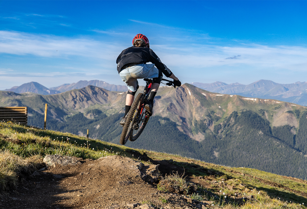
WHEELS UP TRAIL (BIKES ONLY)
- Distance: 2 miles (one-way)
- Descent: 669 feet
- Difficulty: Moderate. Smooth trail mixed with required rock lines/rock gardens. Not suitable for beginners.
- Hiking: Not allowed
- Biking: Downhill, only
- Start point: Mid-mountain, adjacent to the Black Mountain Express Lift top terminal.
Wheels Up is our featured downhill, bike-only flow trail descending from Black Mountain Lodge to the base area. Full of berms, rollers, and optional lines, this playground of a trail was built specifically for bikes. Wheels Up suits intermediate riders (all features can be rolled) and is extra-fun for advanced mountain bikers. Climb the Argentine North Fork Trail to access it.
SUMMER ROAD, UPPER & LOWER
- Distance: 2.6 miles (one-way)
- Descent: 1,676 feet
- Difficulty: Moderate to difficult. Very steep in places with loose rocks. Very high elevation. Watch for vehicles.
- Hiking: Both directions
- Biking: Both directions
Summer Road is a steep, rocky service road running from top to bottom. The 1.3-mile Upper Summer Road begins at Black Mountain Lodge and takes you well above the treeline. It is currently the only way to access the summit at 12,456 feet. Enjoy stunning views of A-Basin, Loveland Pass, multiple 14’ers, and our resident mountain goat herd. We recommend using ANFT and Wheels Up on the lower half of the mountain. Please watch for vehicles!
PALI ROAD
- Distance: 0.6 miles (one-way)
- Descent: 669 feet
- Difficulty: Difficult. Very steep.
- Hiking: Both directions
- Biking: Both directions
Pali Road is a very steep service road that takes hikers and mountain bikers from the Upper Summer Road (just above mid-mountain) to the top of Pallavicini Lift. From there, enjoy dramatic views of The Beavers and Pallavicini ski terrain.
MOUNTAIN BIKE RENTALS, BIKE HAUL, EMTBS?
We do not offer bike rentals, beginner trails, mountain bike programming, or bike haul on our lifts. Bring your bike and earn your turns!
At this time, e-bikes are NOT allowed on our singletrack trails per U.S. Forest Service regulations. They are also not allowed on the Lenawee Trail. You may ride them on the summer road only. Watch for vehicles.
TRAILS NEAR US
LENAWEE TRAIL
- A-Basin is where you start your climb to access the Lenawee Trail, a famous and scenic high-alpine trail ride off our backside. The 3.3-mile, black-diamond Lenawee Trail descends one ridgeline east of A-Basin’s Montezuma Bowl, ending at County Road 260/Peru Creek Road.
- Climb our Argentine North Fork Trail to the Upper Summer Road. The trail to access Lenawee heads east from the summit (to the left of the Lenawee Lift). When you finish your wild ride to the bottom, connect to additional trails and dirt road riding, if so desired. Please note Lenawee Trail is outside of our summer operating boundary, meaning mountain patrol services are not available. Be prepared and ride safe!
- Lenawee is steep; it’s technical and it requires a shuttle or a big loop with significant time spent pedaling on roads. Arrange your shuttle to come back up to A-Basin to enjoy a cold beverage on the deck of the 6th Alley Bar & Grill.
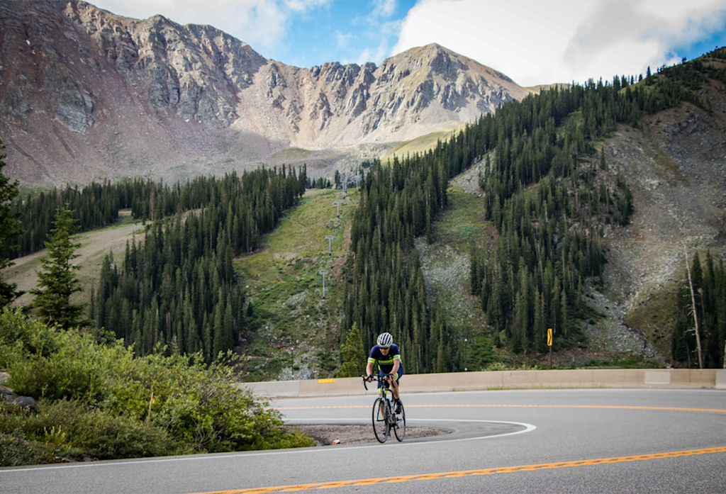
LOVELAND PASS ROAD
- Arapahoe Basin is located just below scenic Loveland Pass. The category 1 climb up to the pass is a must-do for road cyclists, combining a winding 8-mile climb with an exhilarating downhill on the scenic Continental Divide.
- Loveland Pass is open to vehicles throughout the year, including tanker trucks, so please use caution on this roadway. You can get to Loveland Pass from the Summit County bike path system and enjoy lunch on the deck of the 6th Alley Bar & Grill at the Basin on your way back home!

The Summer Pass
Your ultimate ticket to sunshine
Experience a year-round adventure at The Basin with our Summer Pass and see all that Not-Winter has to offer with our Summer Pass! A nearly $1000 value for $259, so what are you waiting for?
Seize the sun