
Hiking
Hiking at A-Basin
Escape the city heat
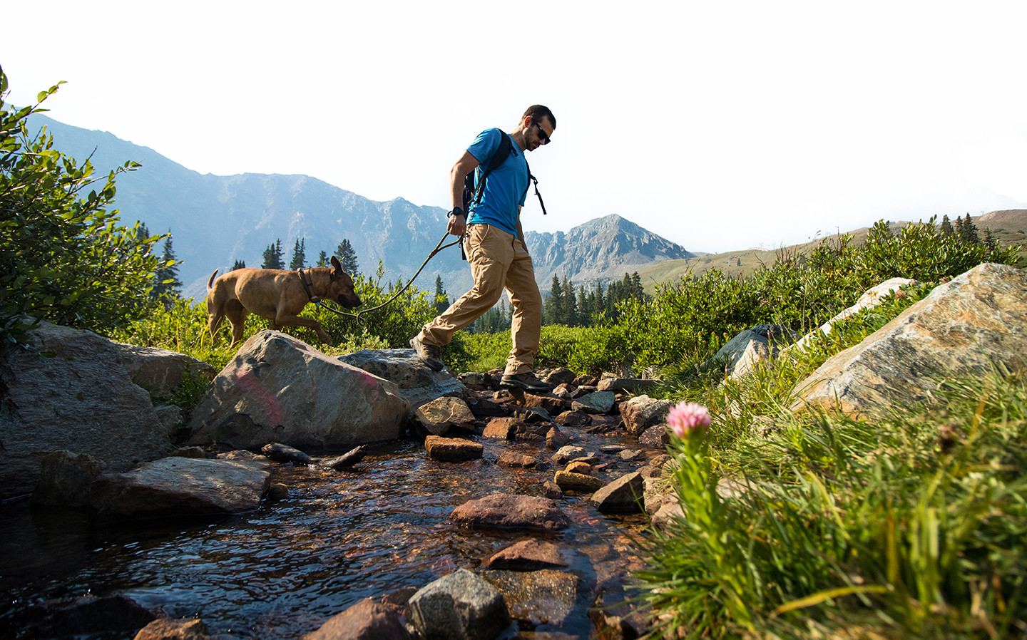
If you're looking for a beautiful Colorado hike, look no further than A-Basin. Hikers are treated to breathtaking views with every step as they ascend through pine trees up to open meadows of wildflowers and an uninterrupted backdrop of mountains blanketed in bright green. Visitors can quickly feel like they’re away from it all thanks to A-Basin’s more remote setting apart from multiple roads and towns.
TRAIL MAPTRAIL INFO
HALF MOON VISTA TRAIL
- Distance: 0.5 miles (one-way). Descend the Upper Summer Road for a 0.8-mile loop hike.
- Descent: 340 feet
- Difficulty: Easy to moderate
- Hiking: Both directions
- Biking: Not allowed (downhill)
Half Moon begins at Black Mountain Lodge and leads you to Half Moon Vista. The first half of the hike is very easy and suitable for everyone. The final climb to Half Moon Vista, one of the mountain’s most stunning overlooks, is more difficult with a 340-foot vertical ascent. As you climb to the alpine tundra at timberline, enjoy lush meadows and dramatic views of the Continental Divide and the East Wall.
Retrace your steps for a 1-mile outing, or create a loop by descending 0.3 miles on the Upper Summer Road back to the lodge. This is a great hike to pair with a Black Mountain Express chairlift ride. More experienced hikers can combine Half Moon Trail with Argentine North Fork for a 5-mile, out-and-back hike with 1,000 feet of ascent and descent.
ARGENTINE NORTH FORK TRAIL (ANFT)
- Distance: 2 miles (one-way)
- Descent: 700 feet
- Difficulty: Moderate
- Hiking: Both directions
- Biking: Both directions
Argentine North Fork is A-Basin’s primary singletrack trail. It begins near Mountain Goat Plaza in the base area and ascends to Black Mountain Lodge at mid-mountain. Hikers and bikers will find wildflowers, scenic vistas, and crystal-clear streams. Hike both ways to work up your appetite for lunch at the 6th Alley Bar & Grill, or ride the chairlift to mid-mountain and hike ANFT back down to the base area.
SUMMER ROAD, UPPER & LOWER
- Distance: 2.6 miles (one-way)
- Descent: 1,676 feet
- Difficulty: Moderate to difficult.
- Hiking: Both directions
- Biking: Both directions
Summer Road is a steep, rocky service road running from top to bottom. The 1.3-mile Upper Summer Road takes you well above the treeline and is currently the only way to access the summit at 12,456 feet. Enjoy stunning views of A-Basin, Loveland Pass, multiple 14’ers, and our resident mountain goat herd. We recommend using ANFT on the lower half of the mountain. Please watch for vehicles!
PALI ROAD
- Distance: 0.6 miles (one-way)
- Descent: 669 feet
- Difficulty: Difficult.
- Hiking: Both directions
- Biking: Both directions
Pali Road is a very steep service road that takes hikers and mountain bikers from the Upper Summer Road (just above mid-mountain) to the top of Pallavicini Lift. From there, enjoy dramatic views of The Beavers and Pallavicini ski terrain. You can hike to Pali Road via ANFT or take the Black Mountain Express chairlift.
BE PREPARED
Our terrain is at a very high elevation. In the summer, afternoon thunderstorms with lightning and hail can be daily occurrences and materialize without much warning. Come hike in the morning to work up an appetite for lunch and a beer at the 6th Alley Bar & Grill.
TRAIL-USE RESTRICTIONS
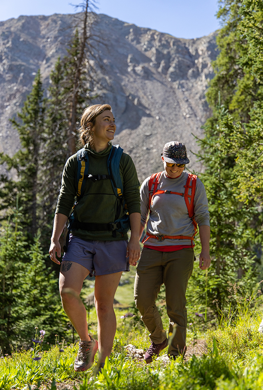
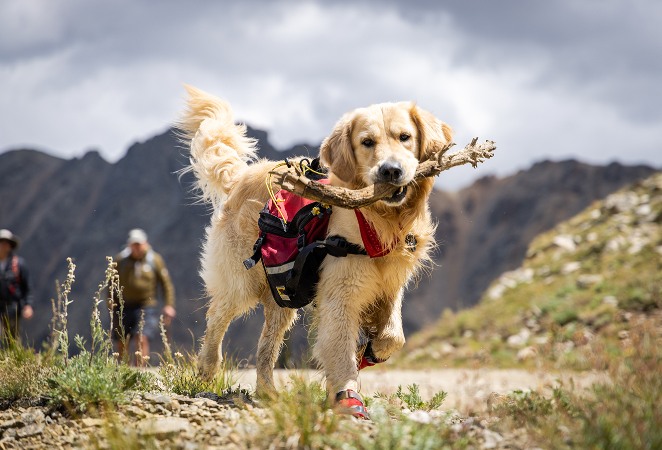
Arapahoe Basin sits entirely on U.S. Forest Service land. Trails are open to hikers, mountain bikers, and well-behaved animals. Please pick up after your pet! Poop bags are available in the base area; please pick one up before your hike.
While the land is open to public exploration, there are several ecologically sensitive areas that are best left undisturbed. Please consider the potential impacts to the environment before venturing off our trails.

The Summer Pass
Your ultimate ticket to sunshine
Experience a year-round adventure at The Basin with our Summer Pass and see all that Not-Winter has to offer with our Summer Pass! A nearly $1000 value for $259, so what are you waiting for?
Seize the sun